Dunbeg Promontory Fort
Southwest Ireland | County Kerry
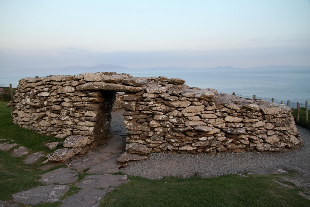
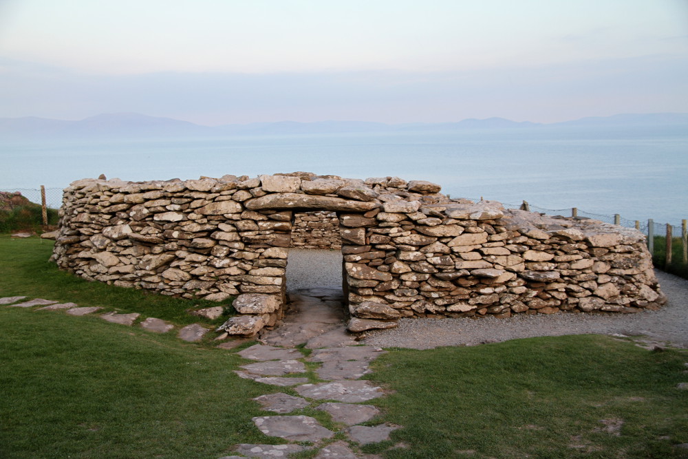
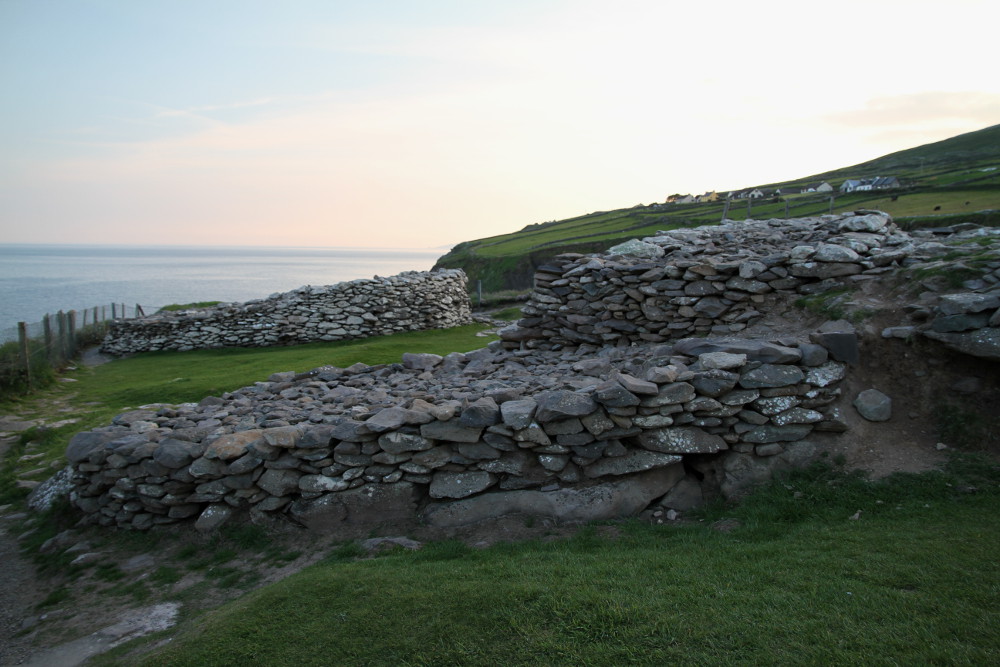
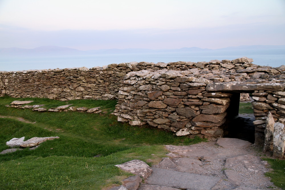
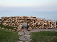
Dunbeg Fort (Dún Beag) is located on craggy promontory between Ventry and Slea Head (road R599) on Dingle Peninsula in County Kerry. Remains that have survived to this days were built between the 8th and 10th century, but excavations have shown some evidence of human residence dating from 8th century BC. There is no evidence that Dunbeg was ever again occupied after the early 11th century. Four ditches and five mounds protect access to the fort from the mainland, then terraced dry-stone masonry rampart with roofed entrance with two guardrooms on sides. Inside are the remains of a large, square shaped, dry-stone hut (Clochán) with a water drain around. There is subterranean passage leading from the entrance in the rampart to hut (Clochán). Much of the fort has fallen into the sea, due to eruption of the cliff and furious coastal storms in January 2014 (fort was closed to public for 7 months) and January 2018 (closed to the public at the moment). On the rear side of Stonehouse Restaurant (opposite to the entrance of the fort) there is small visitor centre where you can see audio-visual presentation about Dún Beag Fort.
- OPENING HOURS AND ADMISSION FEES :
- Closed to the public at the moment!
- PHONE :
- +353 (066) 915 9755
Photos from Dunbeg Promontory Fort