Slieve%20League
Northwest Ireland | County Donegal
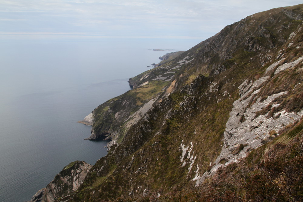
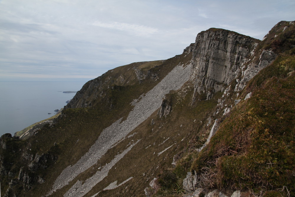
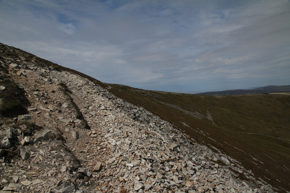
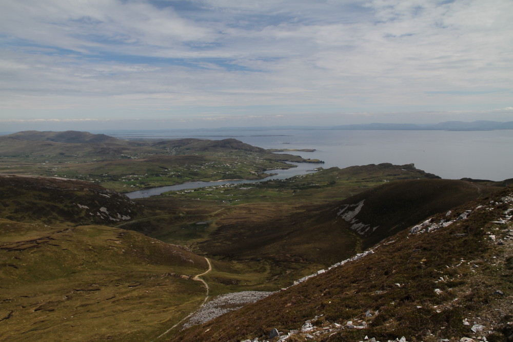
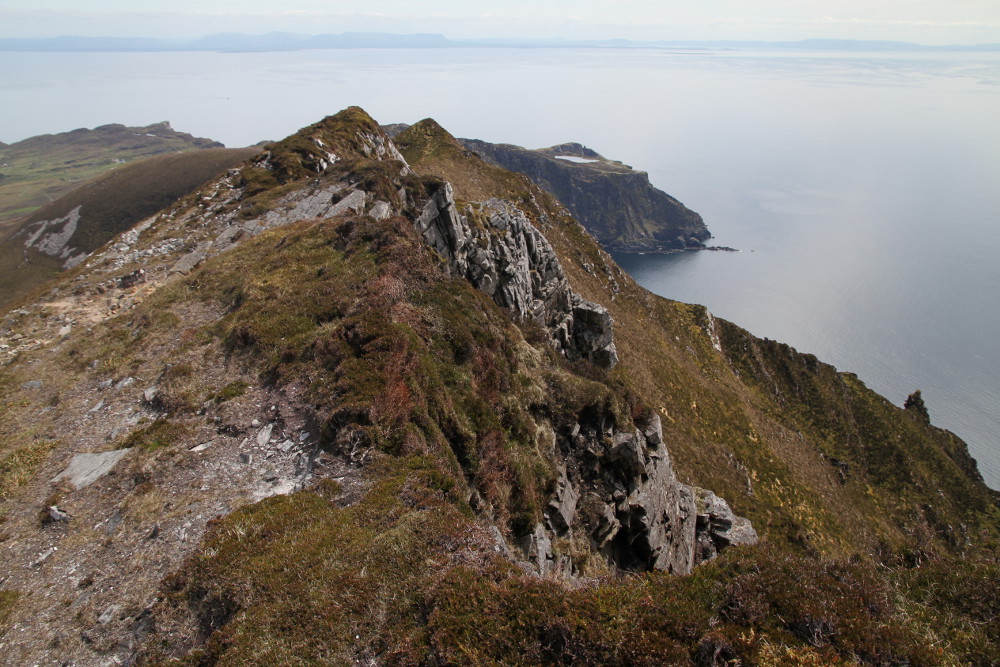
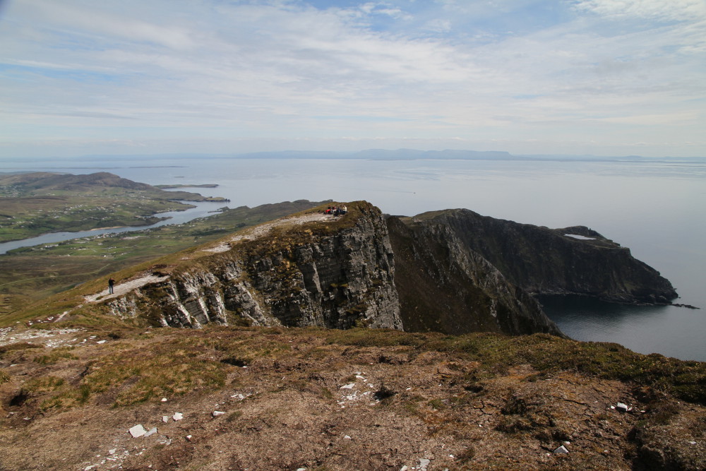
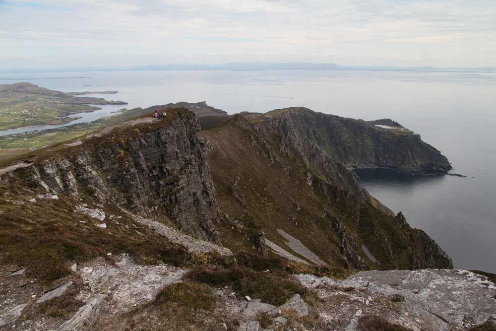
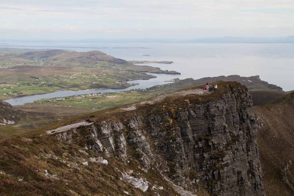
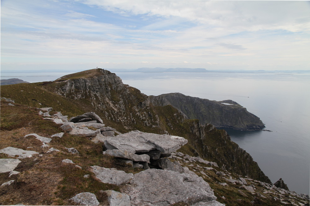
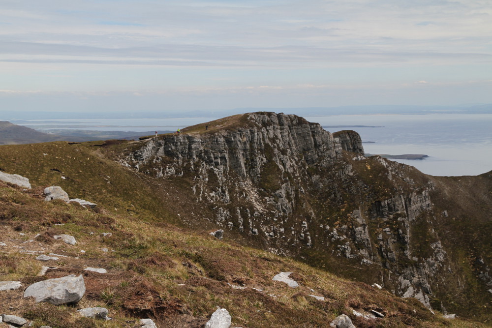
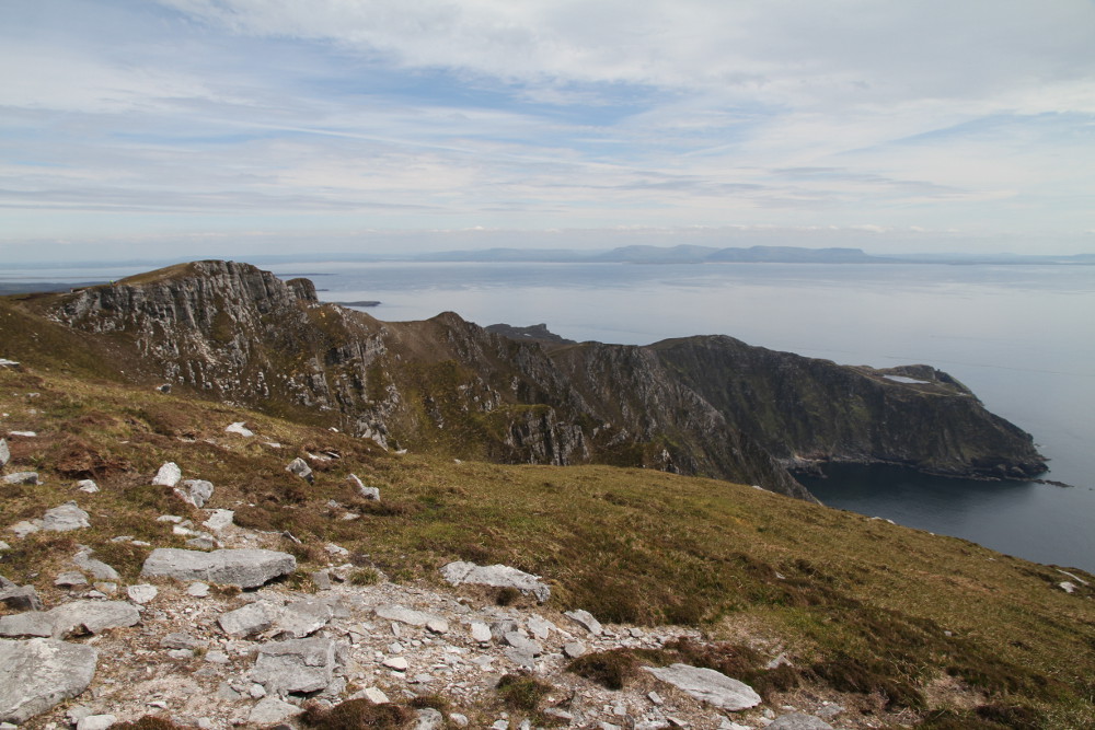
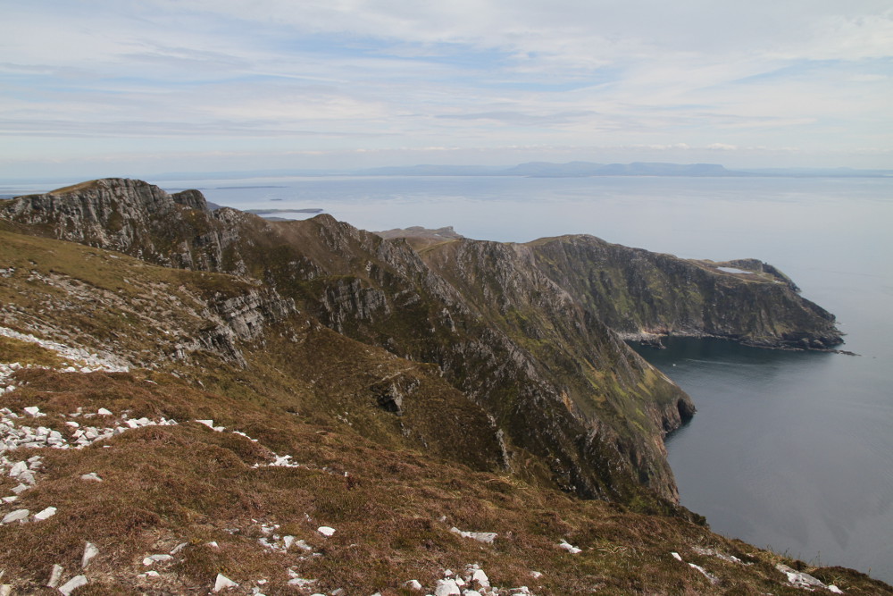
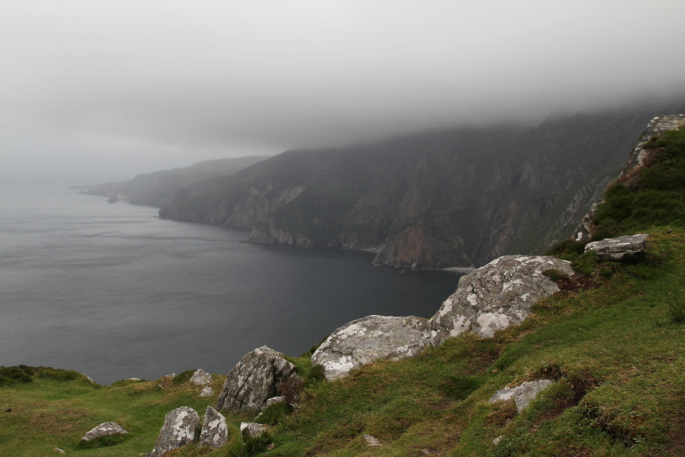
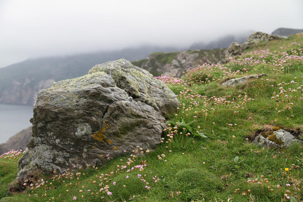
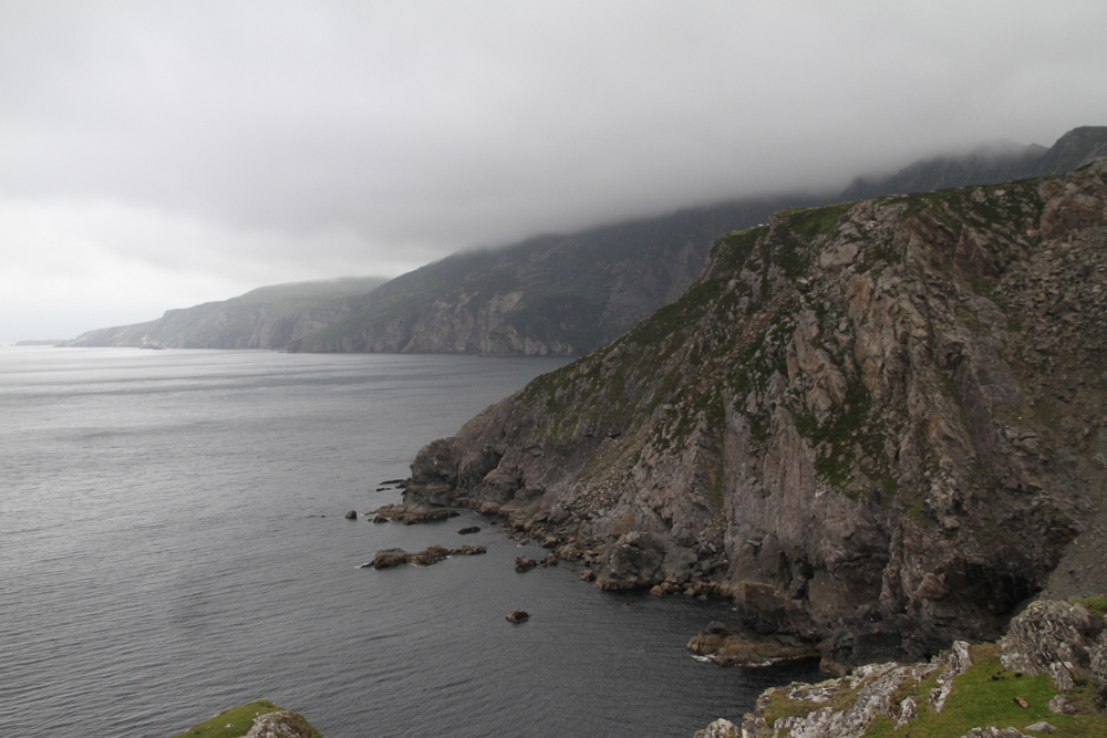
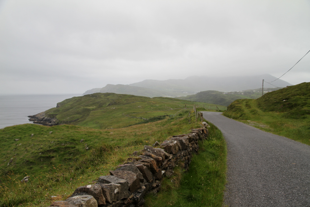
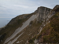
Slieve League (Irish: Sliabh Liag) is a mountain situated on the Atlantic coast of Donegal Bay in County Donegal. It is 601 m high and it has second highest sea cliffs in Ireland, the fifth highest in Europe (Slieve League's cliffs reach almost 3 times higher then famous The Cliffs of Moher in County Clare). There are two paths leading to the summit of Slieve League. One starts from Bunglass car park (where the viewing platform is), and the second one, called the Pilgrim Path, runs west from the village of Teelin. Climbing Slieve League is not difficult but requires good physical condition and extreme caution, especially on the final section known as "One Man's Pass". Reaching the summit gives a sense of achievement and rewards with stunning view across Donegal Bay to counties Leitrim, Sligo and Mayo. The alternative way to see cliffs of Slieve League is to take boat tour with Paddy Byrne. Boat operates from April to October, from Teelin Harbour (ofcourse it depends on weather conditions). In addition to the unforgettable view of cliffs, boat trip gives opportunity to see rich marine life of Donegal Bay, like dolphins, whales, seals and even basking sharks.
- CAR PARKS GPS COORDINATES:
- Bunglass car park:
- N 54 37.619, W 8 41.077
- Pilgrim's Path car park:
- N 54 38.501, W 8 39.627
- Bunglass car park:
- BOAT TOURS BOOKING INFO:
- Skipper: Paddy Byrne
- Departure: Teelin Harbour
- Contact: +353 876284688
- Website: www.sliabhleagueboattrips.com
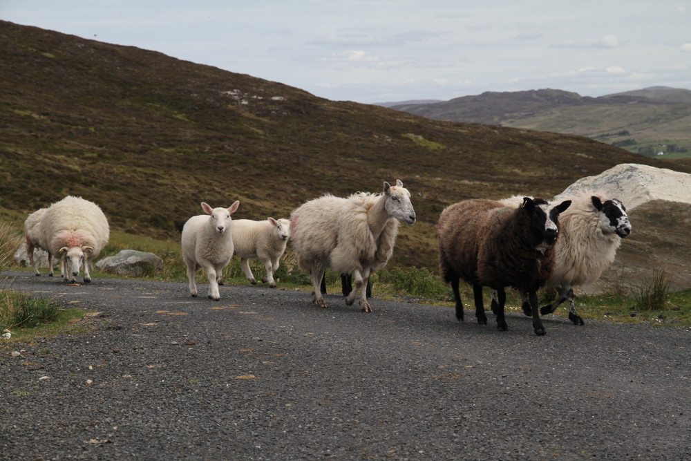
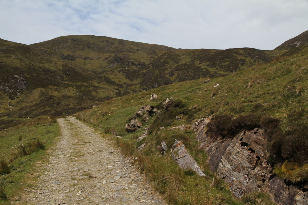
Photos from Slieve%20League