Wicklow%20Mountains
East Ireland | County Wicklow
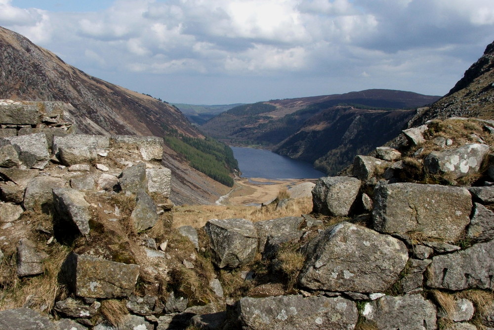
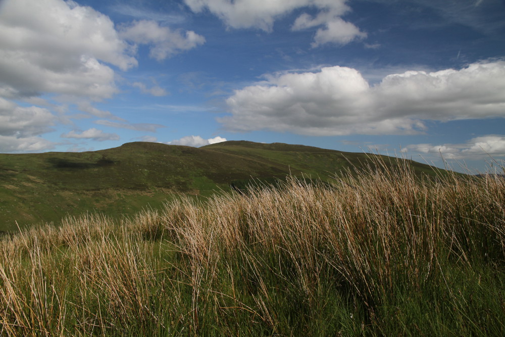
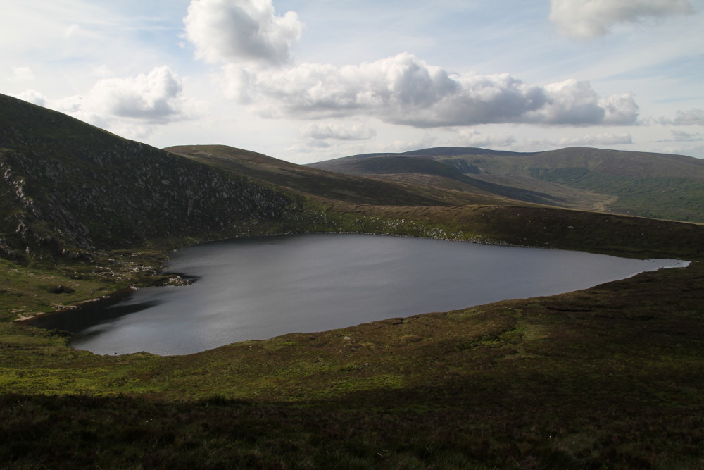
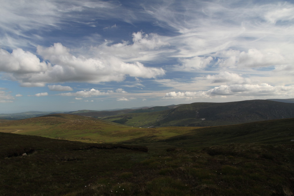
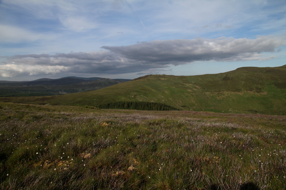
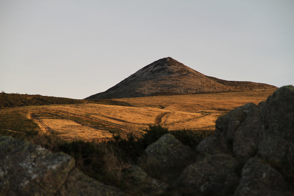
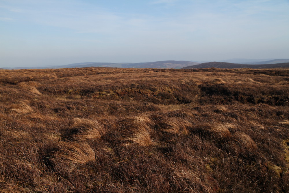
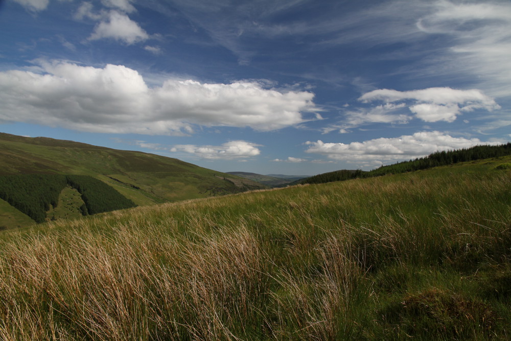
Wicklow Mountains, which are visible from Dublin are actually rounded hills, here and there a layer of granite weathering stopped and as a result there are more pointed formations, such as the Great Sugarloaf Mountain. The highest peak Lugnaquillia has 925m and is the 13th highest in Ireland. There are a total of 39 peaks over 600 metres. There are only three passes through the mountains under 600 metres with the Sally Gap (498 m) and the Wicklow Gap (478m) being the highest road passes in the country. Because they are wild, uninhabited and close enough to Dublin, so it's no wonder why it were shelter for bandits and rebels. Wicklow Mountains for long time have been virtually inaccessible. At the beginning of the 19th century British army in an attempt to take control over the mountains they built a military road. The Old Military Road (R115) is still in use, it starts from the Rathfarnham suburb of Dublin and leads high in the mountains to Aghavennagh. This old military road is part of the longest Irish officially marked hiking trail - Wicklow Way.
Photos from Wicklow%20Mountains